TOP 10: NÜFUS
Adana ilinde,
Yumurtalık ilçesinde, mahalleler içinde,
Çocuk sayısı bakımından lider listesinde 1. Asmalı bölge sıralamasında birinci sıradadır.
| Adi | ASMALI Province Affiliated | ADANA District Affiliated | YUMURTALIK Postal code | 01682 Number of Streets | 3 Population Density km2-people | 59.72 Number of Apartments with business Licenses | 20 Number of Apartments with Residential Licenses | 451 Number of Households / Families | 280 Total Population | 1088 Male Population | 567 Woman Population | 521 Income Per Person - Spendable TL-Month | 6.135 |
|---|
ASMALI Neighbourhood Map | All Neighbourhoods and Settlements
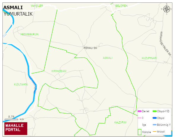
ASMALI Neighbourhood Digital Map | Satellite View and Local Boundaries
ASMALI Neighbourhood – Population, Postal Code, Number of Workplaces
ASMALI neighborhood is located in YUMURTALIK district of ADANA province. UAVT (National Address Database Code) Neighborhood Code: 177725. Postal Code: 1682. The population density is -per square kilometer- 58 people. ASMALI 3 streets and avenues, 18 independent business licensed apartments, 436 residential licensed apartments, 267 households. 1066 people live in this settlement. 562 male, 504 female. 166 people have never married, 524 people are married, 21 people are divorced and 34 people have passed away. The number of people aged 60 and over is 148. The population rate of 60+ people is % 13 and the ratio of children under the age of 10 to the population is % 20 YUMURTALIK -in the district- 7. the most crowded neighbourhood.