TOP 10: NÜFUS
Balıkesir ilinde,
Sındırgı ilçesinde, mahalleler içinde,
Ekonomik faaliyetlerin merkezi listesinde 5. Çoturtepe beşinci konumda bulunan mahalledir.
| Adi | ÇOTURTEPE Province Affiliated | BALIKESIR District Affiliated | SINDIRGI Postal code | 10332 Number of Streets | 10 Population Density km2-people | 10.46 Number of Apartments with business Licenses | 98 Number of Apartments with Residential Licenses | 86 Number of Households / Families | 0 Total Population | 146 Male Population | 79 Woman Population | 67 Income Per Person - Spendable TL-Month | 5.550 |
|---|
ÇOTURTEPE Neighbourhood Map | All Neighbourhoods and Settlements
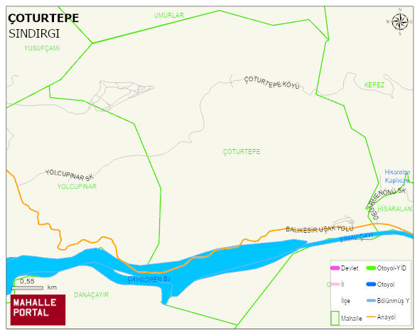
ÇOTURTEPE Neighbourhood Digital Map | Updated Neighbourhood Map
ÇOTURTEPE Neighbourhood – Population, Postal Code, Number of Workplaces
ÇOTURTEPE SINDIRGI district of BALIKESIR iline baglidir. UAVT (Ulusal Adres Veritabani Kodu) Kodu: 148507. Postal Code: 10332. 86 adet konut ruhsatli daire ve 98 adet isyeri ruhsatli bagimsiz birim barindirir. Bu yerlesimde 154 people live in this settlement. 81 male, 73 female.
Leave a Comment