KANATGEREN Village Digital Map | Terrain and Topography
Ağrı ilinde,
Eleşkirt ilçesinde, köyler içinde,
En fazla yüksek gelirli yaşayan listesinde 4. Kanatgeren istatistiksel olarak 4. sıradadır.
Eleşkirt ilçesinde, köyler içinde,
En fazla yüksek gelirli yaşayan listesinde 4. Kanatgeren istatistiksel olarak 4. sıradadır.
| Adi | KANATGEREN Province Affiliated | AGRI District Affiliated | ELESKIRT Postal code | 04602 Number of Streets | 1 Population Density km2-people | 8.47 Number of Apartments with business Licenses | 0 Number of Apartments with Residential Licenses | 9 Number of Households / Families | 0 Total Population | 48 Male Population | 18 Woman Population | 30 Income Per Person - Spendable TL-Month | 2.443 |
|---|
KANATGEREN Village Map | Terrain and Topography
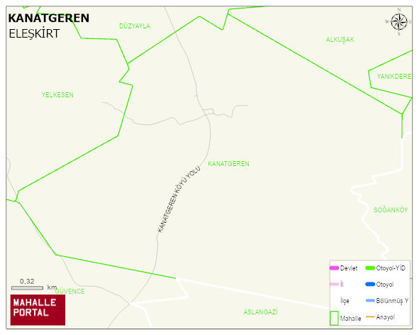
KANATGEREN Village Digital Map | Terrain and Topography
KANATGEREN Village – Population, Postal Code, Number of Workplaces
KANATGEREN ELESKIRT district of AGRI iline baglidir. UAVT (Ulusal Adres Veritabani Kodu) Kodu: . Postal Code: 4602. 8 adet konut ruhsatli daire barindirir. Bu yerlesimde 53 people live in this settlement. 21 male, 32 female.
Leave a Comment