KARAMANLI, BURDUR
| Name | KARAMANLI |
|---|---|
| Province Affiliated | BURDUR |
| City Plate code | 15 |
| Population Density km2-people | 20,37 |
| Number of Apartments with business Licenses | 906 |
| Number of Apartments with Residential Licenses | 6.668 |
| Number of Households / Families | 3.288 |
| Average Household Size | 2,49 |
| Total Population | 8.223 |
| Foreigner Population | 76 |
| Area km2 | 403,74 |
KARAMANLI, BURDUR Digital Map | Satellite View and Local Boundaries
Top earner
Highest business potential
Among the most educated regions
Where elderly live densely
Highest land value
Most banking points
Highest household wealth
Largest housing capacity
Areas with low literacy rates
High single household ratio
Peak widow rate
Widest settlement network
Center of high-income individuals
High proportion of youth within families
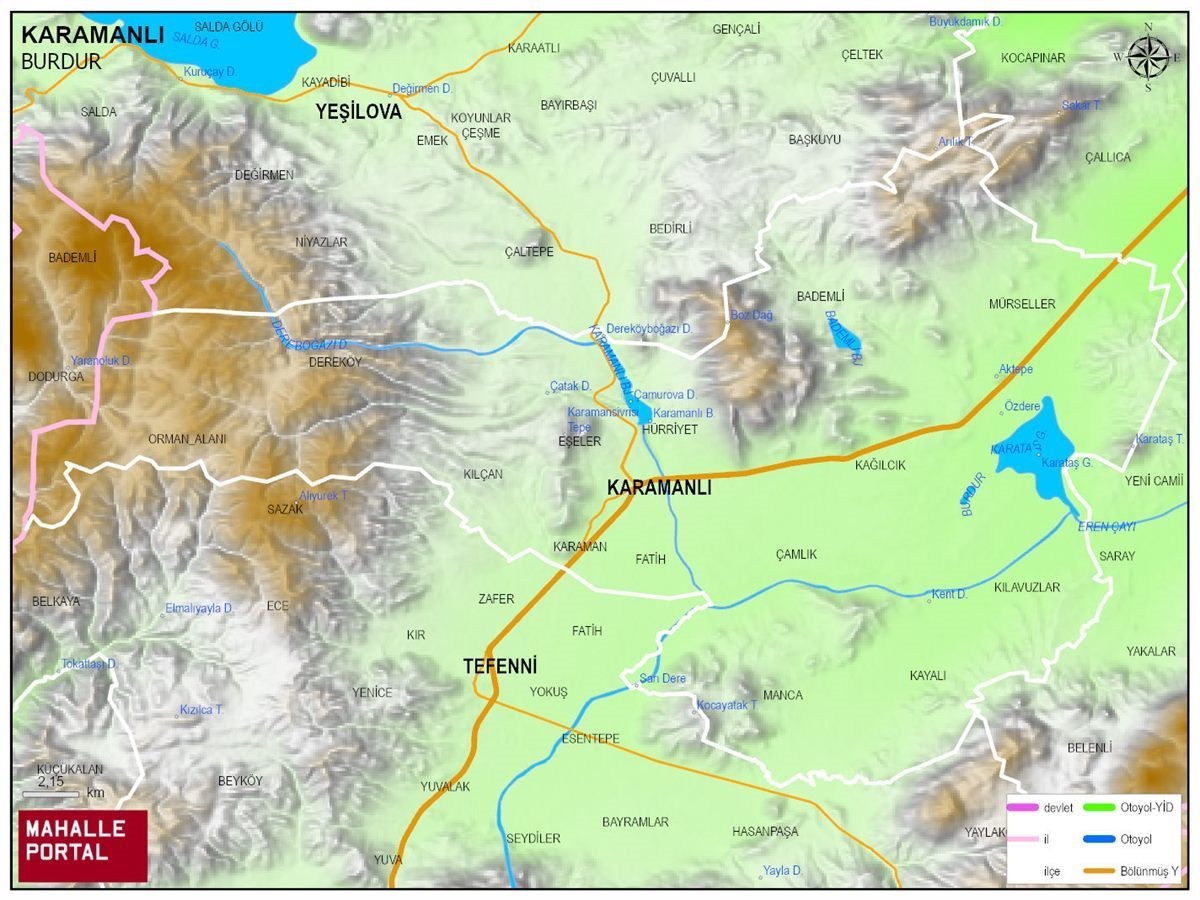
KARAMANLI Physical Map | Geography and Natural Features
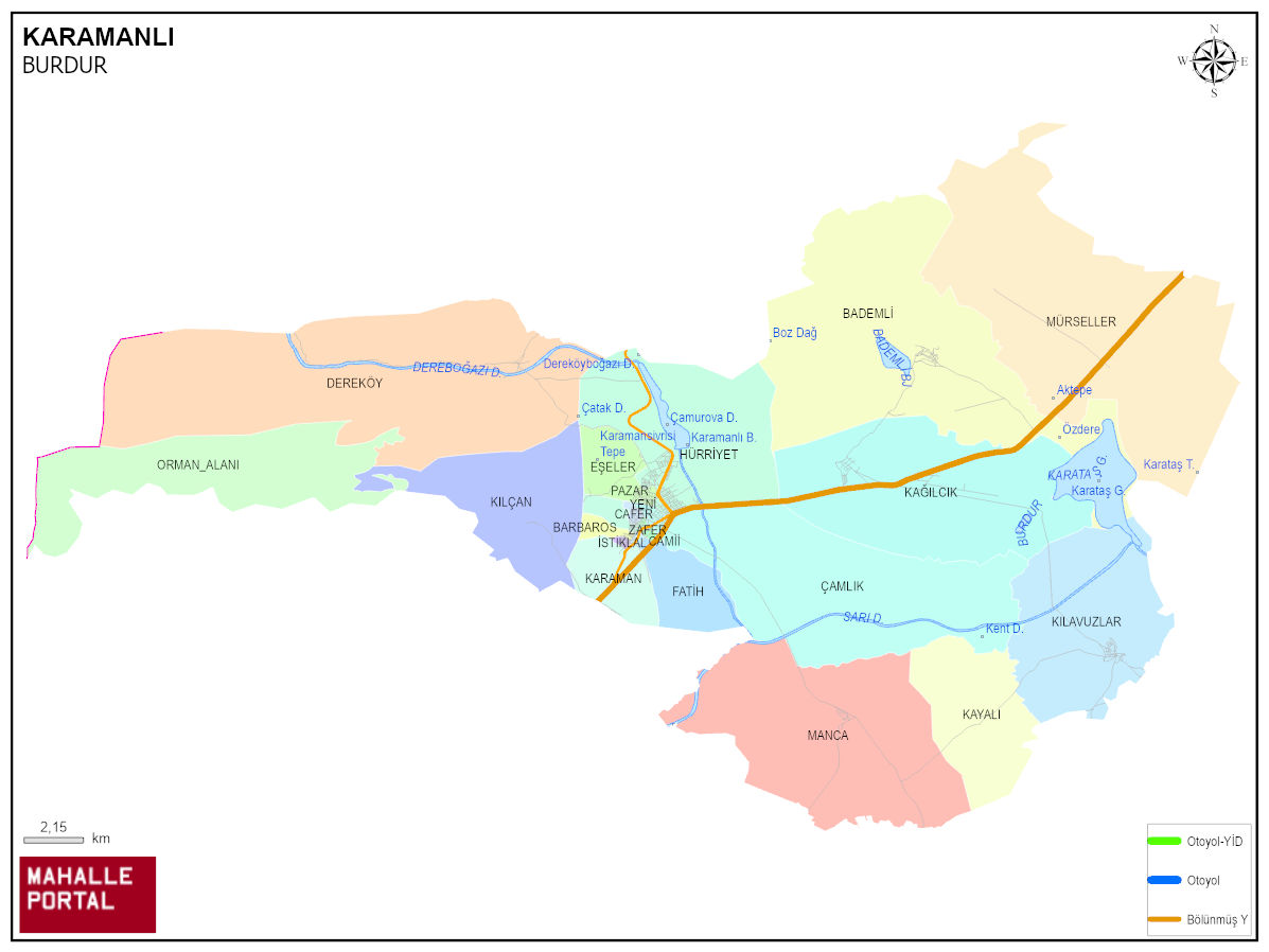
KARAMANLI Neighbourhood Map | Detailed Villages and Neighbourhoods
KARAMANLI Population and Family Structure
| District Center Population | 6.109 |
|---|---|
| Town and Village Population | 2.140 |
| Male Population | 4.080 |
| Female Population | 4.169 |
| Average Age | 44 |
| Average Age of Males | 42 |
| Average Age of Females | 46 |
| Number of Household Members | 3.236 |
| Average Household Size | 2 |
| Number of Single Person Households | 994 |
| Number of Nuclear Family Households | 1.762 |
| Number of Large Family Households | 409 |
| Number of Non-Nuclear Family Households | 71 |
KARAMANLI Artificial Intelligence Comments for
KARAMANLI is a district of BURDUR province. The population is 8249, the number of streets is 563, the number of apartments with housing licenses is 6641 and the number of independent businesses with business licenses is 864. The average age is calculated as 44, 42 for men and 46 for women. 1151 people have never married, 4692 people are married, 815 people of (wife - husband) have passed away, and 293 people are divorced. The average household size of the district is 2, Tek kisinin yasadigi hane sayisi 994, and the number of nuclear family households is 1762.
Leave a Comment