Anlık Kırklareli Nüfusu
Basic Information
| Name | KIRKLARELI |
|---|---|
| Number of Streets | 5.639 |
| Number of Districts | 8 |
| Number of Independent Business Licensed Offices | 30.122 |
| Number of Apartments with Residential Licenses | 230.571 |
| Total Population | 377.156 |
| Foreign National Population | 3.834 |
İldeki nüfusu en yüksek 5 yerleşim
İlçe Listesi
Kırklareli sınırları içindeki ilçeler aşağıdadır.
| Babaeski | Demirköy | Kofçaz | Lüleburgaz |
| Merkez | Pehlivanköy | Pınarhisar | Vize |
Kırklareli ilinde 8 ilçe bulunmaktadır.
Top earner
KIRKLARELI Political Map

KIRKLARELI Physical Map
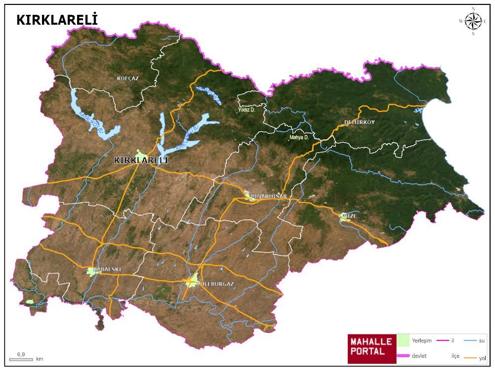
KIRKLARELI Digital Map
Artificial Intelligence Comments for KIRKLARELI
Kirklareli is a province with historical and cultural richness located in the Marmara Region of Turkey. It is located on the Bulgarian border and attracts attention with its nature, historical structures and cultural heritage. The city of Kirklareli, the center of the province, has been inhabited since ancient times and bears traces from the Thracian, Roman and Ottoman periods. While the famous Dupnisa Cave offers a fascinating experience to visitors with its natural beauties, historical structures such as the Fatih Mosque and the Hizirbey Social Complex are important attractions of the city center. Kirklareli's unique flavors, local agricultural products and geographically indicated cheeses leave unforgettable tastes on the palate. In addition, it is a place worth exploring for nature enthusiasts with its natural beauties such as the Yildiz Mountains and Demirköy.