KÜPELI Village Digital Map | Mountains, Rivers and Elevation Details
Amasya ilinde,
Suluova ilçesinde, köyler içinde,
Değerli arsa bölgeleri arasında listesinde 5. Küpeli sıralamada beşinci sırada yer almaktadır.
Gelir seviyesi yüksek bireylerin merkezi listesinde 3. Küpeli listede üçüncü basamakta konumlanmıştır.
Mahalle içi yol/sokak sayısı zirvede listesinde 4. Küpeli istatistiklere göre 4. sırada yer alır.
| Adi | KÜPELI Province Affiliated | AMASYA District Affiliated | SULUOVA Postal code | 05502 Number of Streets | 7 Population Density km2-people | 32.62 Number of Apartments with business Licenses | 0 Number of Apartments with Residential Licenses | 17 Number of Households / Families | 11 Total Population | 40 Male Population | 26 Woman Population | 14 Income Per Person - Spendable TL-Month | 5.755 |
|---|
KÜPELI Village Map | Terrain and Topography
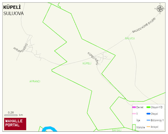
KÜPELI Village Digital Map | Mountains, Rivers and Elevation Details
KÜPELI Village – Population, Postal Code, Number of Workplaces
KÜPELI village SULUOVA district of AMASYA province. UAVT (National Address Database Code) Village Code: 2358. Postal Code: 5502. KÜPELI 1 streets and avenues, 17 residential licensed apartments, 12 households. 48 people live in this settlement. 29 male, 19 female.
Leave a Comment