TOP 10: NÜFUS
Ankara ilinde,
Pursaklar ilçesinde, mahalleler içinde,
En çok işletmenin bulunduğu listesinde 2. Saray Cumhuriyet sıralamada ikinci sırada yer alır.
Banka ATM sayısı zirvede listesinde 2. Saray Cumhuriyet sıralamada 2. basamakta gözükür.
En çok çocuklu ailelerin yaşadığı listesinde 4. Saray Cumhuriyet 4. sırada yer alarak üst sıralara yakın bir konumdadır.
| Adi | SARAY CUMHURIYET Province Affiliated | ANKARA District Affiliated | PURSAKLAR Postal code | 06145 Number of Streets | 105 Population Density km2-people | 5010.66 Number of Apartments with business Licenses | 944 Number of Apartments with Residential Licenses | 6257 Number of Households / Families | 4606 Total Population | 15567 Male Population | 7668 Woman Population | 7899 Income Per Person - Spendable TL-Month | 16.712 |
|---|
SARAY CUMHURIYET Neighbourhood Map | Satellite View and Local Boundaries
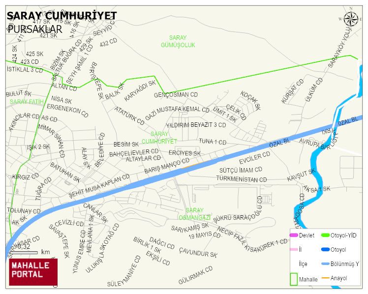
SARAY CUMHURIYET Neighbourhood Digital Map | Terrain and Topography
SARAY CUMHURIYET Neighbourhood – Population, Postal Code, Number of Workplaces
SARAY CUMHURIYET neighborhood is located in PURSAKLAR district of ANKARA province. UAVT (National Address Database Code) Neighborhood Code: 1742. Postal Code: 6145. The population density is -per square kilometer- 4857 people. SARAY CUMHURIYET 105 streets and avenues, 756 independent business licensed apartments, 5990 residential licensed apartments, 4428 households. 15087 people live in this settlement. 7457 male, 7630 female. 2884 people have never married, 7601 people are married, 433 people are divorced and 387 people have passed away. The number of people aged 60 and over is 1279. The population rate of 60+ people is % 8 and the ratio of children under the age of 10 to the population is % 16 PURSAKLAR -in the district- 6. the most crowded neighbourhood.