TOP 10: NÜFUS
Ankara ilinde, mahalleler içinde,
Şereflikoçhisar ilçesinde, mahalleler içinde,
Sokak dokusu zengin bölgeler listesinde 2. Tuzla istatistiklerde ikinci olarak listelenir.
| Adi | TUZLA Province Affiliated | ANKARA District Affiliated | SEREFLIKOÇHISAR Postal code | 06950 Number of Streets | 53 Population Density km2-people | 62.16 Number of Apartments with business Licenses | 18 Number of Apartments with Residential Licenses | 861 Number of Households / Families | 503 Total Population | 1415 Male Population | 703 Woman Population | 712 Income Per Person - Spendable TL-Month | 10.059 |
|---|
TUZLA Neighbourhood Map | Mountains, Rivers and Elevation Details
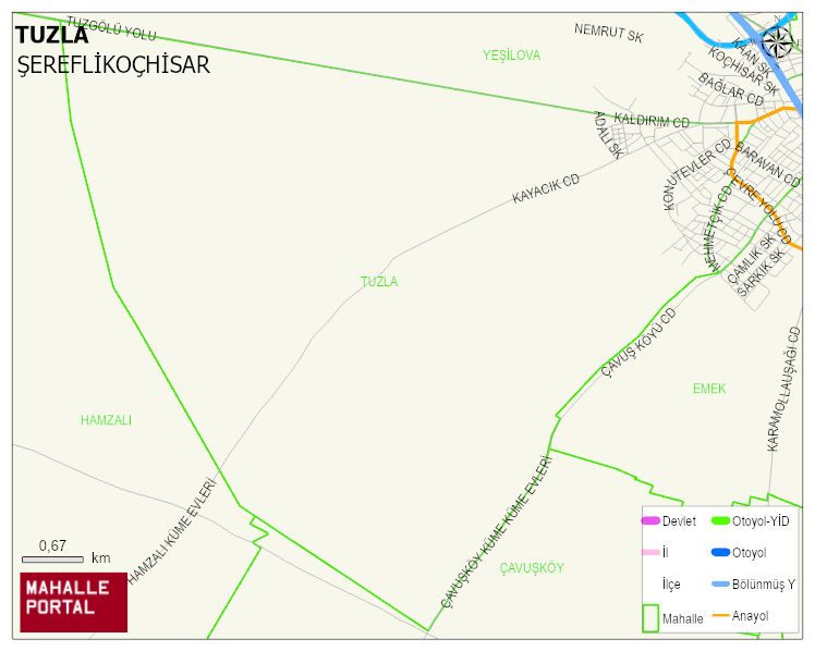
TUZLA Neighbourhood Digital Map | Satellite View and Local Boundaries
TUZLA Neighbourhood – Population, Postal Code, Number of Workplaces
TUZLA neighborhood is located in SEREFLIKOÇHISAR district of ANKARA province. UAVT (National Address Database Code) Neighborhood Code: 2264. Postal Code: 6950. The population density is -per square kilometer- 62 people. TUZLA 53 streets and avenues, 15 independent business licensed apartments, 853 residential licensed apartments, 506 households. 1411 people live in this settlement. 696 male, 715 female. 244 people have never married, 758 people are married, 41 people are divorced and 95 people have passed away. The number of people aged 60 and over is 336. The population rate of 60+ people is % 23 and the ratio of children under the age of 10 to the population is % 12 SEREFLIKOÇHISAR -in the district- 8. the most crowded neighbourhood.