YUSUFOGLU Village Digital Map | Satellite View and Local Boundaries
Çankırı ilinde,
Bayramören ilçesinde, köyler içinde,
Nüfus bakımından önde gelen listesinde 4. Yusufoğlu 4. sırada kayıtlı, bölgenin önde gelen yerleşimlerinden biridir.
Hane adedi bakımından ilk sırada listesinde 5. Yusufoğlu 5. sırada kayıtlı ve dikkat çeken bir yerleşimdir.
En çok yerleşim birimi barındıran listesinde 4. Yusufoğlu 4. sırada konumlanmış, öne çıkan bir yerleşimdir.
Sokak bakımından en kalabalık listesinde 2. Yusufoğlu sıralamada ikinci sırada yer almaktadır.
| Adi | YUSUFOGLU Province Affiliated | ÇANKIRI District Affiliated | BAYRAMÖREN Postal code | 18322 Number of Streets | 7 Population Density km2-people | 17.55 Number of Apartments with business Licenses | 0 Number of Apartments with Residential Licenses | 110 Number of Households / Families | 58 Total Population | 116 Male Population | 65 Woman Population | 51 Income Per Person - Spendable TL-Month | 4.832 |
|---|
YUSUFOGLU Village Map | Geography and Natural Features
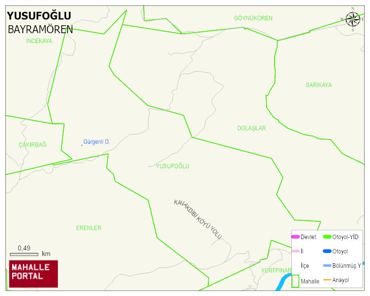
YUSUFOGLU Village Digital Map | Satellite View and Local Boundaries
YUSUFOGLU Village – Population, Postal Code, Number of Workplaces
YUSUFOGLU village BAYRAMÖREN district of ÇANKIRI province. UAVT (National Address Database Code) Village Code: 8697. Postal Code: 18322. YUSUFOGLU 7 streets and avenues, 110 residential licensed apartments, 62 households. 125 people live in this settlement. 69 male, 56 female. BAYRAMÖREN -in the district- 7. the most crowded neighbourhood.
Leave a Comment