| Adi | MALTA Province Affiliated | SANLIURFA District Affiliated | VIRANSEHIR Postal code | 63700 Number of Streets | 1 Population Density km2-people | 63.49 Number of Apartments with business Licenses | 0 Number of Apartments with Residential Licenses | 136 Number of Households / Families | 91 Total Population | 490 Male Population | 242 Woman Population | 248 Income Per Person - Spendable TL-Month | 3.320 |
|---|
MALTA Neighbourhood Map | Satellite View and Local Boundaries
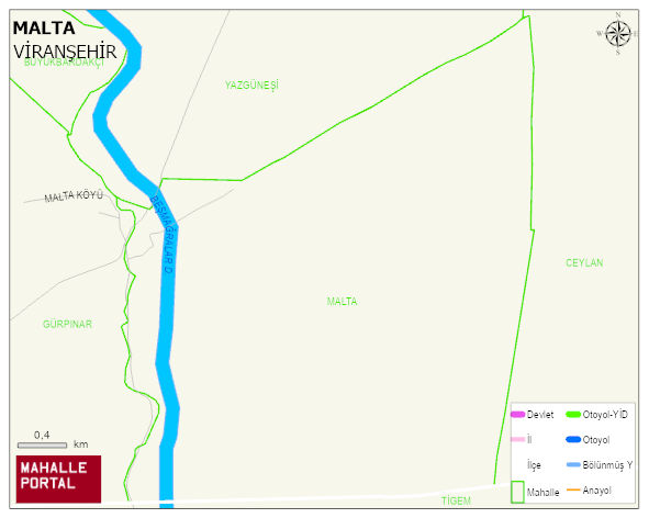
MALTA Neighbourhood Digital Map | Updated Neighbourhood Map
MALTA Neighbourhood – Population, Postal Code, Number of Workplaces
MALTA neighborhood is located in VIRANSEHIR district of SANLIURFA province. UAVT (National Address Database Code) Neighborhood Code: 175317. Postal Code: 63700. The population density is -per square kilometer- 62 people. MALTA 1 streets and avenues, 134 residential licensed apartments, 95 households. 482 people live in this settlement. 240 male, 242 female. and the ratio of children under the age of 10 to the population is % 34 En genç 400 mahalle ve köyden biridir. (Nüfusu 250den büyük 29000 köy ve mahalle içinde)
Leave a Comment